Catalog Archive
Auction 104, Lot 115

"Nord-Amerika", Perthes, Justus

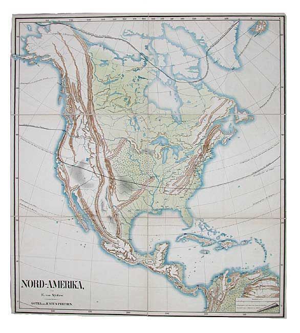
Subject: North America

Period: 1860 (circa)

Publication: Schulmethodischer Wand Atlas

Color: Printed Color

Size:
38 x 41.7 inches
96.5 x 105.9 cm
Download High Resolution Image
(or just click on image to launch the Zoom viewer)

Very uncommon, large folding map showing the geophysical features of North America with climatic zones identified for specific agricultural products. Only major cities are shown with abbreviated names. Drawn by Emil von Sydow and lithographed by A. Endert. Emil von Sydow (1812-1873) is considered to be the founder of methodical school cartography. Von Sydow, officer and geography teacher at a military staff college, joined with the Perthes publishing firm to produce the "Schulmethodischer Wand Atlas" (Methodic Wall Atlas for schools) beginning in 1838. The map shows relief with hachures, symbols and three layer tints, being a very early example of tinted lithography. Dissected and linen-backed with tabs on verso for wall hanging.

References:

Condition: A

Faint toning along folds, overall very good.

Estimate: $700 - $800

Unsold

Closed on 9/10/2003

Archived