Catalog Archive
Auction 103, Lot 684

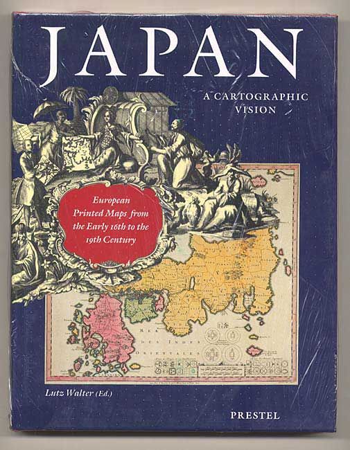
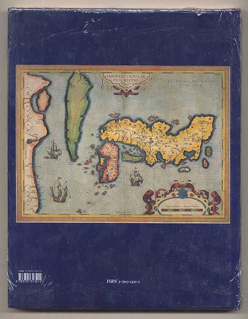
"Japan, a Cartographic Vision European Printed Maps from the Early 16th to the 19th Century", Walter, Lutz

Subject: Cartographic Reference

Period: 1994 (published)

Publication:

Color:

Size:
9.8 x 12.5 inches
24.9 x 31.8 cm
Download High Resolution Image
(or just click on image to launch the Zoom viewer)

A beautiful and informative book on the mapping of Japan. It explores the changing shape of Japan as conceived by Western explorers and cartographers, from the crude and fanciful depictions of the early sixteenth century to the first accurate maps published in the mid-nineteenth century. The eleven essays are generously illustrated with portraits, drawings, contemporary views, and maps. The plates are followed by a catalogue with detailed notes to the plates. Consisting of 128 items, it incorporates the results of recent research and updates Dr. Tony Campbell's pioneering work published in 1967. Edited by Lutz Walter on behalf of the German East-Asiatic Society, on the occasion of its 120th anniversary. 232 pages with illustrations, 182 in color. Hardbound in red cloth with dust jacket.

References:

Condition: A+

Estimate: $50 - $100

Sold for: $0

Closed on 6/11/2003

Archived