Catalog Archive
Auction 103, Lot 673

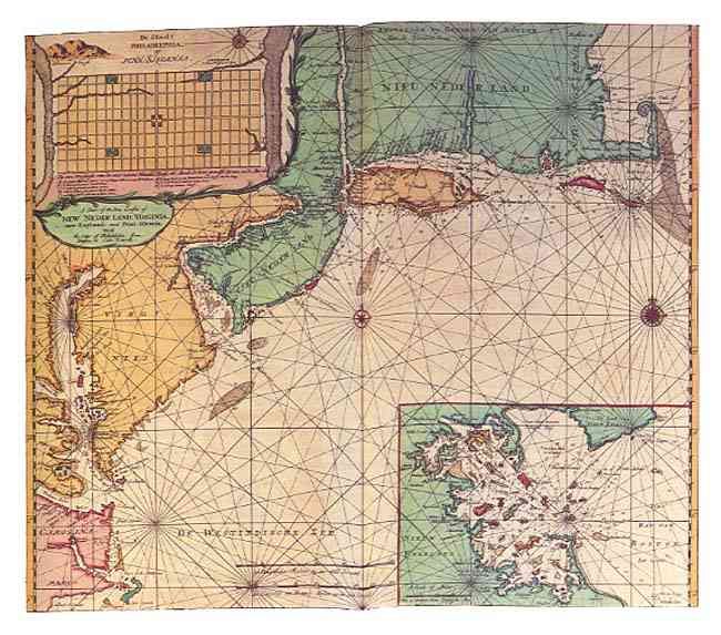
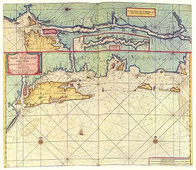
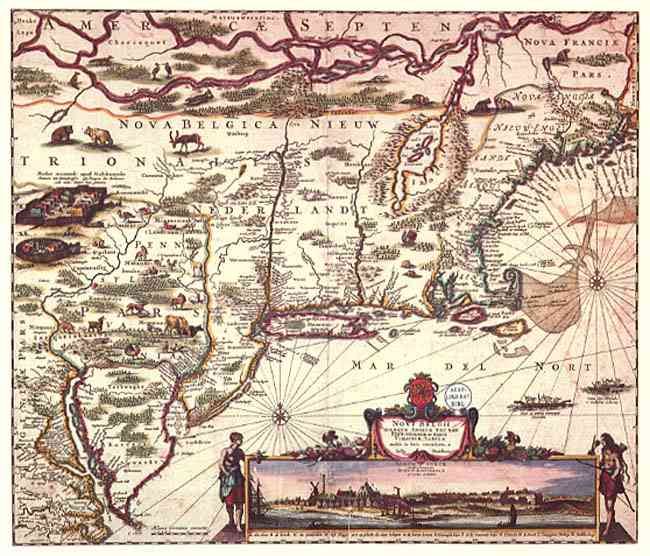
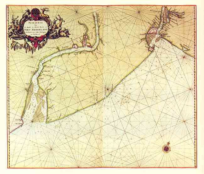
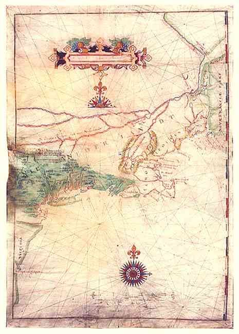
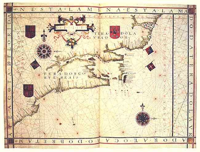
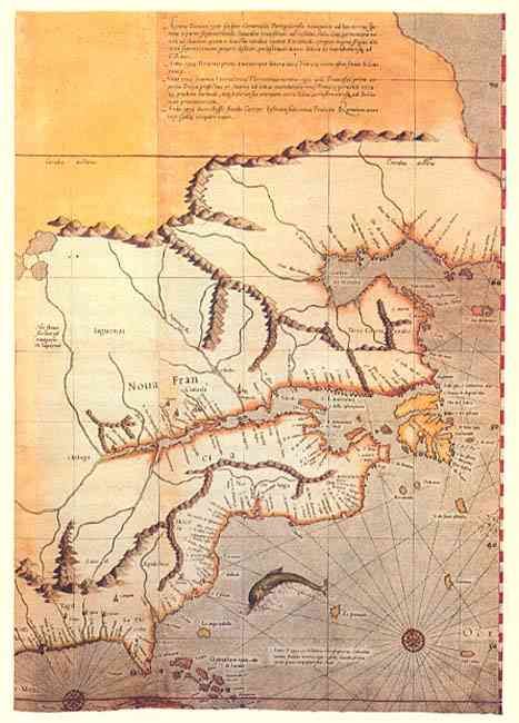
"Early Maps and Charts of the East Coast of North America", Putman, Robert

Subject: Cartographic Reference

Period: 1982 (published)

Publication: Mercbook International Ltd.

Color: Printed Color

Size:
22.5 x 30.5 inches
57.2 x 77.5 cm
Download High Resolution Image
(or just click on image to launch the Zoom viewer)

Superb portfolio of twelve maps and charts reproduced from the originals in the collections of the museums and libraries. Beginning with Joris Carolus' sea chart of Davis Strait, 1626 and ending with Gerard van Keulen's chart of the coast of New Netherlands, 1734. These maps beautifully illustrate this important part of American cartographic history. The 32 pp., 4to, booklet provides an introduction and full details on each map. Maps, elephant folio size, printed in full-color on fine hand-made rag paper and housed in a beautiful linen and leather portfolio. Limited edition, #376 of 500 copies.

References:

Condition: A+

Estimate: $300 - $350

Sold for: $325

Closed on 6/11/2003

Archived