Catalog Archive
Auction 103, Lot 664
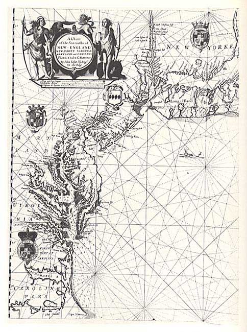
"The Sea Chart", Howse and Sanderson
1 of 5
Subject: Cartographic Reference
Period: 1973 (published)
Publication: McGraw-Hill Book Company
Color:
Size:
9 x 11 inches
22.9 x 27.9 cm
Download High Resolution Image
(or just click on image to launch the Zoom viewer)
(or just click on image to launch the Zoom viewer)