Catalog Archive
Auction 103, Lot 656

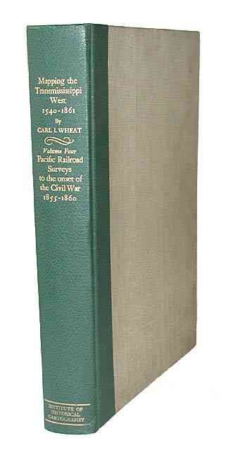
"Mapping the Transmississippi West…, Volume Four", Wheat, Carl I.

Subject: Cartographic Reference

Period: 1960 (published)

Publication: San Francisco Institute of Historical Cartography

Color: Printed Color

Size:
10.8 x 14.5 inches
27.4 x 36.8 cm
Download High Resolution Image
(or just click on image to launch the Zoom viewer)

Volume IV of Carl Wheat's monumental work on western cartography covering the Pacific Railroad Surveys to the Onset of the Civil War 1855-1860. 260 pp., illustrated throughout with facsimile maps, many folding and colored, finely lithographed by Charles R. Wood and Associates. A great opportunity to begin collecting the set considered the definitive work detailing the mapping of the American West. Included with this book is the pamphlet, Announcement of Publication of Volume One: The Spanish Entrada to the Louisiana Purchase 1540-1804. First edition limited to 1,000 copies. Original green leatherette and gray cloth, folio.

References:

Condition: A

Minor shelf wear with slight warping of covers.

Estimate: $325 - $425

Sold for: $200

Closed on 6/11/2003

Archived