Catalog Archive
Auction 103, Lot 533
"A Map of the Cape of Good Hope & the Country adjacent", Gibson, John
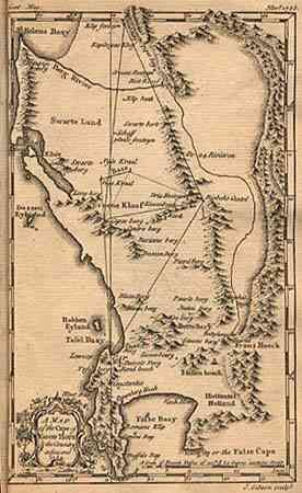
Subject: Southern Africa
Period: 1752 (dated)
Publication: Gentleman's Magazine
Color: Black & White
Size:
5 x 8 inches
12.7 x 20.3 cm
Download High Resolution Image
(or just click on image to launch the Zoom viewer)
(or just click on image to launch the Zoom viewer)