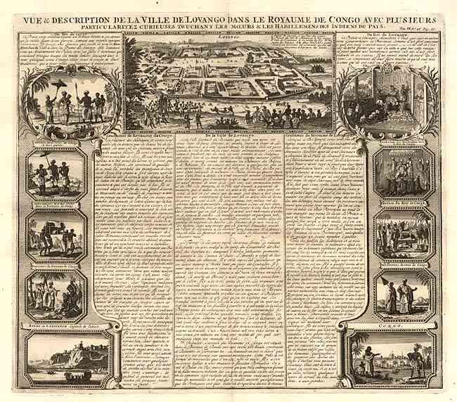
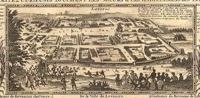
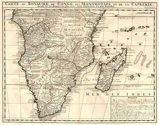
"[Pair] Carte du Royaume de Congo, du Monomotapa et de la Cafrerie [together with] Vue & Description de la Ville de Lovango dans le Royaume de Congo...", Chatelain, Henry Abraham
Nice related set of fine copper engravings. Carte du Royaume de Congo, du Monomotapa et de la Cafrerie (20.2 x 15.9") is Chatelain's version of Guillaume Delisle’s foundation map covering southern Africa. It is finely engraved with detail, especially the tribal kingdoms, and there are numerous references to gold mines. A text block at lower right describes the Congo, Monomotapa and Kaffraria. Accompanied by Vue & Description de la Ville de Lovango dans le Royaume de Congo avec Plusieurs Particularitez curieuses Touchant les Moeurs & les Habillemens des Indiens du Pais, (17.4 x 15") from the same atlas. This folio sheet contains a large view of the fabled city of Lovango at top and 10 vignettes of the people and ceremonies of the kingdom of Congo with French text descriptions.
References: Norwich #165.
Condition: A+
Short fold separation in blank margin, still fine.