Catalog Archive
Auction 103, Lot 392
"Nouvelle Carte des Differents Etats du Roi de Prusse, et de Ceux des Autres Princes de la Maison de Brandebourg", Chatelain, Henry Abraham
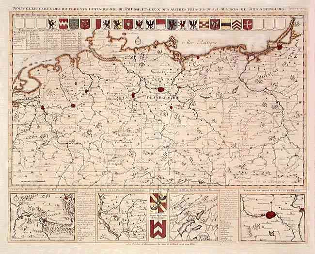
Subject: Germany and Poland
Period: 1708 (circa)
Publication:
Color: Hand Color
Size:
18.7 x 14.6 inches
47.5 x 37.1 cm
Download High Resolution Image
(or just click on image to launch the Zoom viewer)
(or just click on image to launch the Zoom viewer)