Catalog Archive
Auction 103, Lot 390

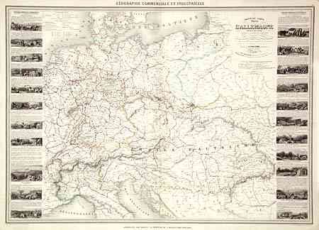
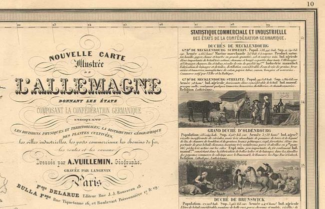
"Nouvelle Carte Illustree de l'Allemagne donnant les etats Composant la Confederation Germanique…", Vuillemin, Alexander A.

Subject: Germany

Period: 1860 (circa)

Publication: Geographie Commerciale et Industrielle

Color: Hand Color

Size:
33 x 23.2 inches
83.8 x 58.9 cm
Download High Resolution Image
(or just click on image to launch the Zoom viewer)

Scarce, large-scale map of Germany. Twenty-two delicately engraved vignettes portraying the industries and products of the region flank this unusually detailed map. The area shown is from Holstein and Bialystock in the north to Nice and Bucharest in the south.

References:

Condition: A

Overall very good with a tiny wormhole in bottom border, just past neatline and tiny centerfold separation in bottom blank margin. Original outline color.

Estimate: $150 - $200

Sold for: $110

Closed on 6/11/2003

Archived