"[Lot of 4 - Brittany]", Levasseur, Victor
Subject: France
Period: 1850 (circa)
Publication: Atlas National Illustre
Color: Hand Color
Size:
16.5 x 11 inches
41.9 x 27.9 cm
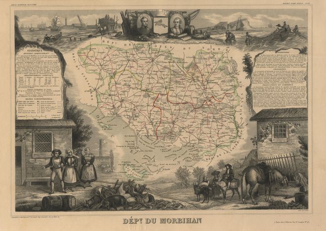
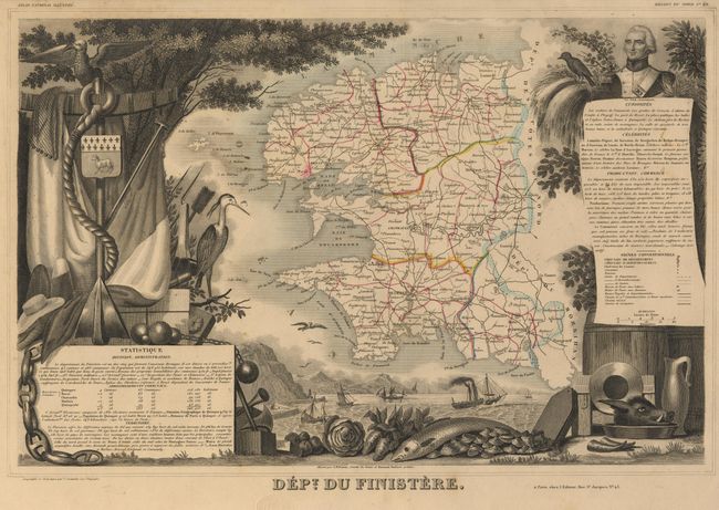
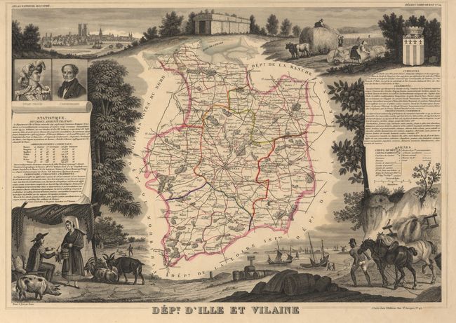
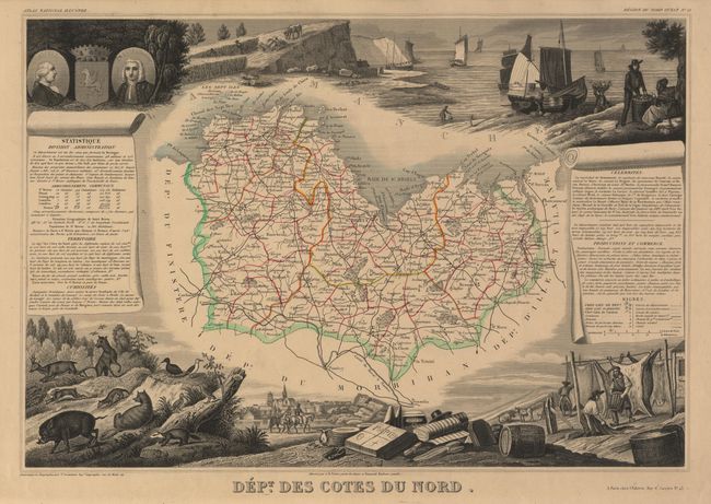
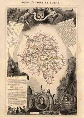
Nice selection of decorative 19th century maps featuring the province of Brittany, each surrounded with steel-engraved scenes describing the regions history, landscape, commerce and industry. 1) Dept. des Cotes du Nord is now known as Cotes d'Armor. This map is decorated with views of the sea, abundant game and the region's produce. 2) Dept. d' Ille et Vilaine is surrounded by agricultural as well as sea scenes. 3) Dept. du Finistere is a lushly decorated map featuring seafood as well as metal products. 4) Dept. du Morbihan is in coastal Brittany and includes the island of Belle-Isle. This map is decorated with vignettes of locals fishing, abundant game and the traditional attire of the area. Size varies slightly.
References:
Condition: B
Some light marginal stains and occasional foxing. All have library embossed stamp in margins, with one just touching the title of Morbihan.