Catalog Archive
Auction 103, Lot 362

"Carte d'Artois et des Environs; ou l'on voit le Ressort du Conseil Provincial d'Artois…", Delisle/Covens & Mortier
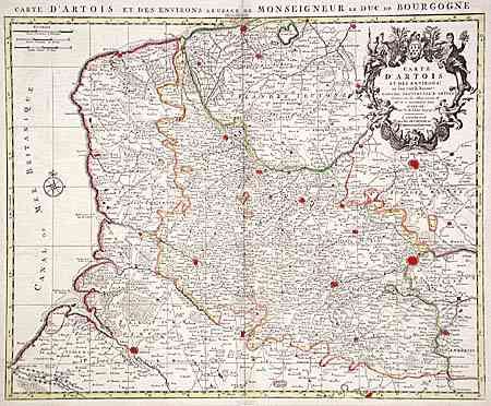
Subject: France

Period: 1733 (circa)

Publication:

Color: Hand Color

Size:
24 x 19 inches
61 x 48.3 cm
Download High Resolution Image
(or just click on image to launch the Zoom viewer)

Very nice copper-engraved chart of Artois in the northwest between Flanders and Picardie. Very detailed with highlighted cities, illustrated topography, roads, villages and more. Details the walled cities of Abevile, Douai, Brussels Lilie, Betune, Aire, Hedin, Calais, and Dunderke on the coast. Elaborate figural cartouche and compass rose.

References:

Condition: B

On thick hand laid paper with original color. Lightly toned along centerfold, else very good

Estimate: $200 - $250

Sold for: $150

Closed on 6/11/2003

Archived