Catalog Archive
Auction 103, Lot 286

"De Zee Custen van Ruslandt, Laplant, Finmarcken, Spitsbergen en Nova Zemla", Goos, Pieter

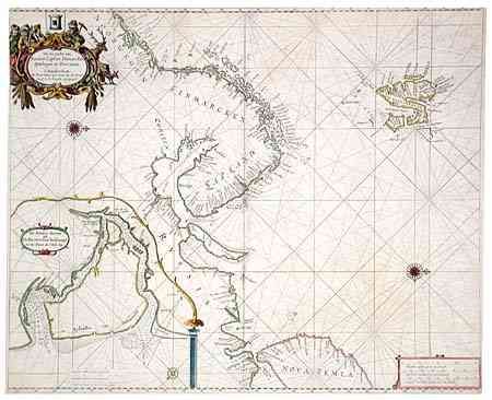
Subject: Barents Sea

Period: 1680 (circa)

Publication: Zee Atlas

Color: Hand Color

Size:
21.5 x 17.5 inches
54.6 x 44.5 cm
Download High Resolution Image
(or just click on image to launch the Zoom viewer)

Fine sea chart of the Barents Sea covering the coastline from northern Norway to Nova Zemla and including Spitsbergen. The map incorporates a large inset of Archangel and is decorated with a figurative title cartouche, compass rose and rhumb lines.

References:

Condition: B

Pleasant outline coloring with fully colored cartouches. Tissue reinforced centerfold. Narrow, but adequate, margins with edges slightly chipped.

Estimate: $350 - $450

Sold for: $450

Closed on 6/11/2003

Archived