"[Lot of 12]", Bonne, Rigobert
Subject: Europe
Period: 1780 (circa)
Publication: Atlas Encyclopedique
Color: Black & White
Size:
13.5 x 9.2 inches
34.3 x 23.4 cm
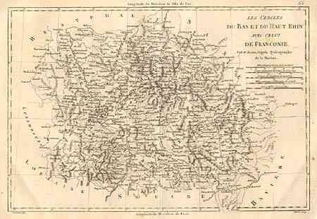
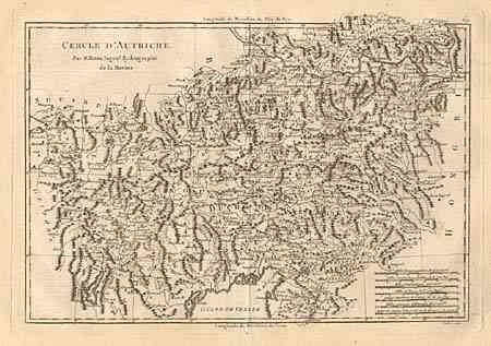
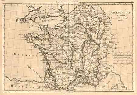
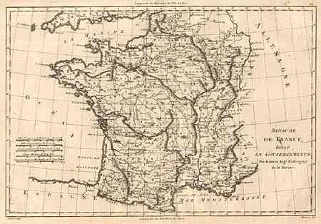
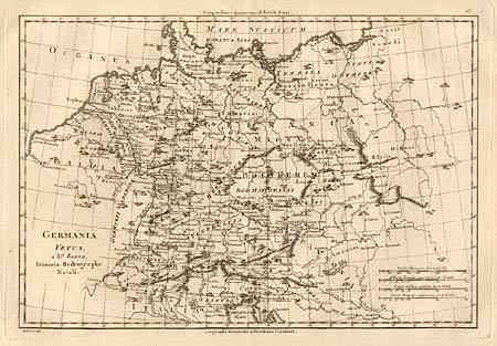
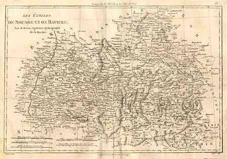
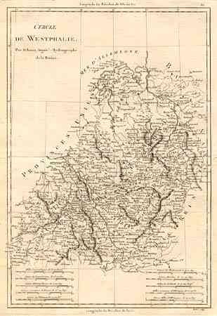
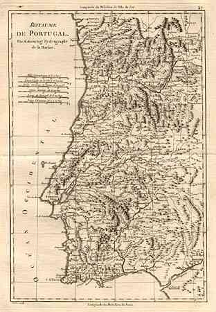
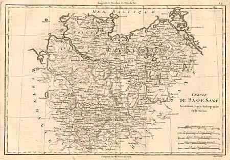
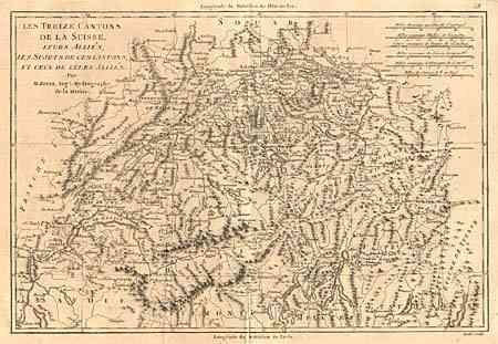
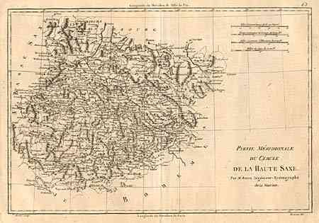
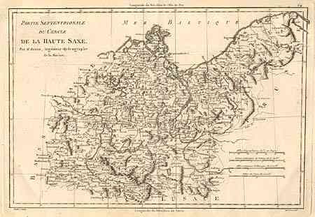
Nice collection of country and regional maps of Europe. 1) Royaume de France, divise en Gouvernments is a general map of France noting the various departments. 2) Gallia Vetus shows France with the names given during Roman times. 3) Royaume du Portugal is a nicely detailed map of just Portugal. 4) Les Treize cantons de la Suisse, leurs Allies, les Sujets de ces Cantons, et ceux de leurs Allies depicts Switzerland. 5) Germania Vetus depicts Germany as is it was known during Roman times. 6) Les Cercles du Bas et du Haut Rhin avec celui de Franconie is of southern central Germany or Rhineland. 7) Cercle d' Autriche depicts Austria. 8) Les Cercles de Souabe et de Baviere shows Swabia and Bavaria. 9) Cercle de Westphalie has good detail of Westphalia. 10) Cercle de Basse Saxe is a map of Lower Saxony or northern Germany. 11) Partie Meridionale du Cercle de la Haute Saxe depicts east-central Germany or Upper Saxony. 12) Partie Septentrionale du Cercle de la Haute Saxe is the northern portion of Upper Saxony.
References:
Condition: B
Most maps generally fine. Few with centerfold separations, some entering map but easily repaired. Some damp stains and foxing in large, blank margins.