Catalog Archive
Auction 103, Lot 278
"Carte de l'Europe Suivant les plus Nouvelles Observations de Messieurs de l'Academie des Sciences et des Principaux Geographes…", Chatelain, Henry Abraham
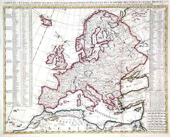
Subject: Europe
Period: 1705 (circa)
Publication: Atlas Historique
Color: Hand Color
Size:
23 x 18 inches
58.4 x 45.7 cm
Download High Resolution Image
(or just click on image to launch the Zoom viewer)
(or just click on image to launch the Zoom viewer)