Catalog Archive
Auction 103, Lot 267

"A New Chart of the Vast Atlantic Ocean; Exhibiting The Seat of War, both in Europe and America...", Bowen, Emanuel

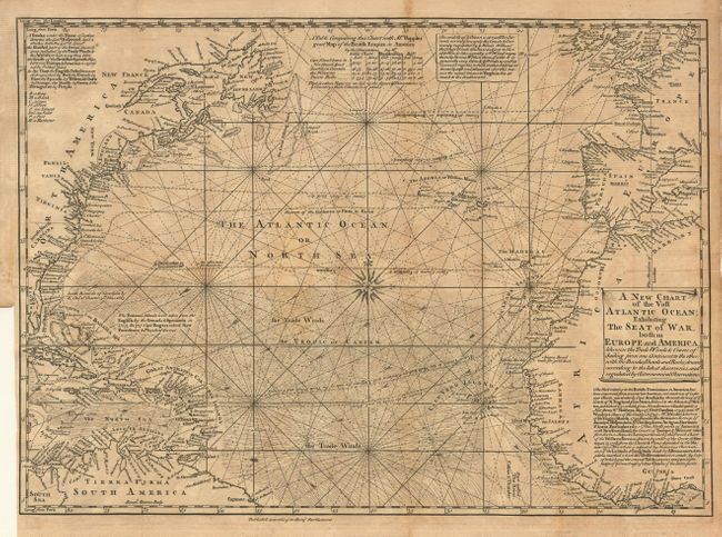
Subject: Atlantic & Arctic Oceans

Period: 1740 (published)

Publication: London Magazine

Color: Black & White

Size:
16.8 x 12 inches
42.7 x 30.5 cm
Download High Resolution Image
(or just click on image to launch the Zoom viewer)

Fine copper engraved chart details the trade winds and sailing courses across the Atlantic. The area covered includes most of eastern North America. Ornamented with rhumb lines, a beautiful compass rose and a decorative scroll-style title cartouche. Filled with numerous notes and comments. One table compares position data between this map and "Mr. Popple's great Map of the British Empire in North America." Jolly calls this a nicely executed map. This is the first edition and not to be confused with the 1755 state.

References: Jolly LOND-7.

Condition: B

Scattered toning. Close trimmed at binding side with no loss, as issued

Estimate: $250 - $300

Sold for: $210

Closed on 6/11/2003

Archived