Catalog Archive
Auction 103, Lot 212

"Carte des Isles Antilles et du Golfe du Mexique; avec la Majeure partie de la Nouvelle Espangne...", Bonne, Rigobert

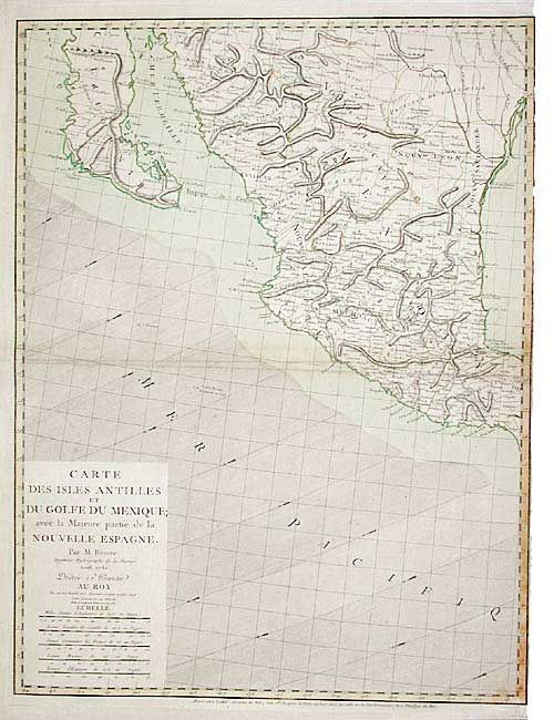
Subject: Western Mexico

Period: 1780 (dated)

Publication:

Color: Hand Color

Size:
19.5 x 25.6 inches
49.5 x 65 cm
Download High Resolution Image
(or just click on image to launch the Zoom viewer)

Western sheet only (does not include the Antilles) of a very scarce three sheet map. This sheet includes the title and shows the Pacific coast from Mazatlan north to Sonora, including Baja California and Cape S. Lucas, and the Gulf of Mexico from Vera Cruz to the Red River. Beautifully engraved with much detail inland and fully engraved wind direction arrows in the ocean.

References:

Condition: B

Light scattered foxing and a little weakening on verso of centerfold with old repair, else very good.

Estimate: $400 - $600

Sold for: $300

Closed on 6/11/2003

Archived