Catalog Archive
Auction 103, Lot 191

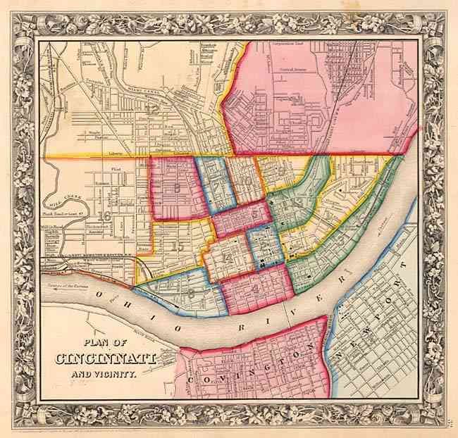
"Plan of Cincinnati and Vicinity", Mitchell, Samuel Augustus
Subject: Ohio

Period: 1860 (dated)

Publication: New General Atlas

Color: Hand Color

Size:
11.2 x 10.8 inches
28.4 x 27.4 cm
Download High Resolution Image
(or just click on image to launch the Zoom viewer)

A colorful plan of the city of Cincinnati depicting the individual wards, streets, railroads, and public buildings. The area shown is from the Corporation Line north of Central Avenue and south across the Ohio River to Covington and Newport, this map presents interesting landmarks such as the "Public Landing" and the "Apollo Building." Decorative floral borders.

References: Phillips (A) 831.

Condition: A

Some light stains from flower pressing, not distracting.

Estimate: $60 - $80

Sold for: $45

Closed on 6/11/2003

Archived