Catalog Archive
Auction 103, Lot 128
"Fogl. V. La Pensilvania, la Nuova York, il Jersey Settentrio;le, con la Parte Occidentale del Connecticut, Massachusset-s-Baye l'Irochesia", Zatta, Antonio
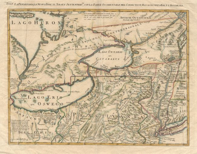
Subject: Northeastern United States
Period: 1785 (circa)
Publication: Atlante Novissima
Color: Hand Color
Size:
16.6 x 12.5 inches
42.2 x 31.8 cm
Download High Resolution Image
(or just click on image to launch the Zoom viewer)
(or just click on image to launch the Zoom viewer)