Catalog Archive
Auction 103, Lot 110

"Die Vereinigten Staaten von Nord-America", Weiland, Carl Ferdinand

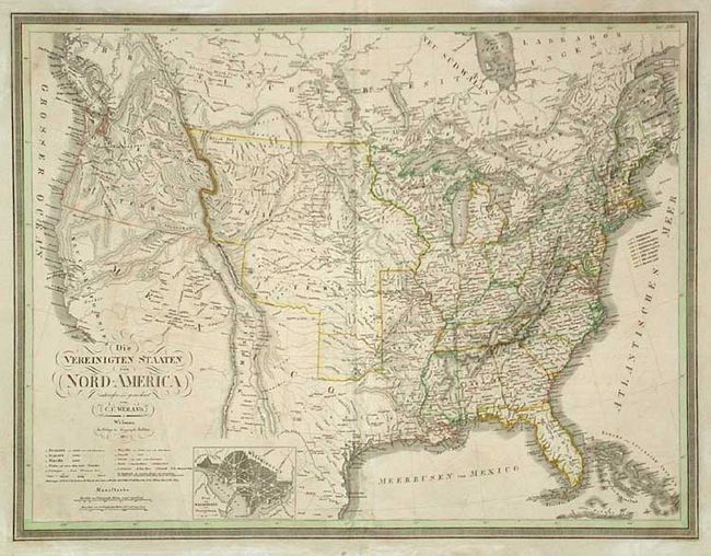
Subject: United States and Canada

Period: 1837 (dated)

Publication:

Color: Hand Color

Size:
24.5 x 19 inches
62.2 x 48.3 cm
Download High Resolution Image
(or just click on image to launch the Zoom viewer)

Map includes the all of the United States and extends north to show most of Canada. Finely engraved inset: "Plan of Washington and Georgetown". Texas is still part of Mexico. Upper Michigan is part of North West Territory that is bounded by a huge Missouri Territory, itself being bordered on the west by a large "Oregon Territory" that indistinctly extends well into British Possessions. Excellent details throughout. Published by the Weimar Geographisches Institut.

References:

Condition: B

Nice impression with good margins. Toned, with a little offsetting and surface soiling. Tear in lower margin with old repair and toned with pastel.

Estimate: $300 - $350

Sold for: $220

Closed on 6/11/2003

Archived