Catalog Archive
Auction 103, Lot 107

"Northern Section of the United States including Canada &c.", Melish, John

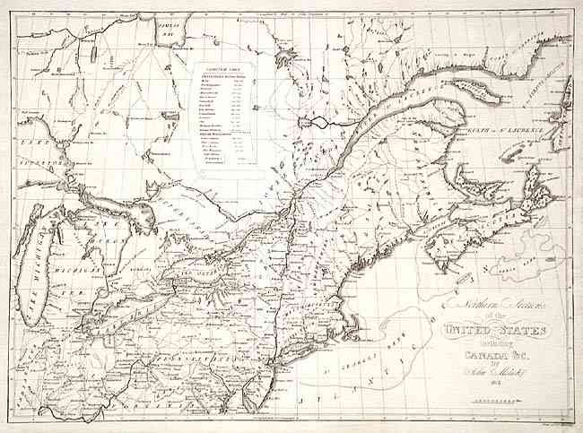
Subject: United States & Canada

Period: 1816 (dated)

Publication: Atlas til friherre Klickowstroms bref om de Forente Staterne

Color: Black & White

Size:
20.6 x 15 inches
52.3 x 38.1 cm
Download High Resolution Image
(or just click on image to launch the Zoom viewer)

Scarce map from the German atlas produced by A.L. Klinckowstrom and published circa 1824. It covers the region from Nova Scotia to Lake Michigan and extends south to the District of Columbia and part of Virginia. Finely engraved with good detail of roads, towns and villages. Indian Territory is a large area south of Lake Michigan and west of Ohio. Scroll inset gives the populations of all states, territories and British possessions in Canada. Engraved by Christian Friedrich Himberg of Berlin. A rarely seen map.

References: Karpinski 41; Phillips (A) 1375-16.

Condition: B

Nice impression on thick hand laid paper. A little scattered foxing and bottom margin rough at paper edge, well away from map.

Estimate: $700 - $800

Sold for: $400

Closed on 6/11/2003

Archived