Catalog Archive
Auction 102, Lot 425

"The Straites Mouth of Gibralter", Churchill, John

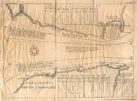
Subject: Mediterranean - Strait of Gibraltar

Period: 1704 (published)

Publication: A Collection of Voyages and Travels

Color: Black & White

Size:
14.9 x 14.5 inches
37.8 x 36.8 cm
Download High Resolution Image
(or just click on image to launch the Zoom viewer)

An interesting chart of the strategic strait between Africa and Europe. The coastline is engraved to depict the forts and cities. The sea in between is marked with those areas affected by tides, with descriptive tables inset. This map was included in Volume IV to accompany "A Draught of the Streights of Gibralter…" by Capt. Richard Bullard.

References:

Condition: A

Nice impression with slight uneven toning.

Estimate: $100 - $140

Sold for: $110

Closed on 3/5/2003

Archived