Catalog Archive
Auction 102, Lot 405
"Carte de la Hongrie et des Pays qui en Dependoient Autrefois…", Delisle, Guillaume
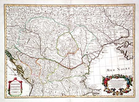
Subject: Southeastern Europe
Period: 1703 (dated)
Publication: Atlas Geographique et Universel
Color: Hand Color
Size:
25.7 x 18.5 inches
65.3 x 47 cm
Download High Resolution Image
(or just click on image to launch the Zoom viewer)
(or just click on image to launch the Zoom viewer)