Catalog Archive
Auction 102, Lot 383

"2me. Carte Particuliere des Costes de Normandie Contenant les costes du Cotentin…", Bellin, Jacques Nicolas
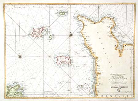
Subject: France

Period: 1793 (circa)

Publication: Le Neptune Francois

Color: Hand Color

Size:
31.9 x 23.4 inches
81 x 59.4 cm
Download High Resolution Image
(or just click on image to launch the Zoom viewer)

Large-scale sea chart covering the Normandy coastline from Virville to just past Granville and including the Channel Islands and a bit of Brittany. Superb coastal detail, two compass roses and rhumb lines with the seal of the Depot de la Marine and Prix. Trente Sols.

References:

Condition: B

Professional repair of 1" tear and separation on bottom centerfold. Faint damp stains in margins.

Estimate: $800 - $1,000

Unsold

Closed on 3/5/2003

Archived