Catalog Archive
Auction 102, Lot 36

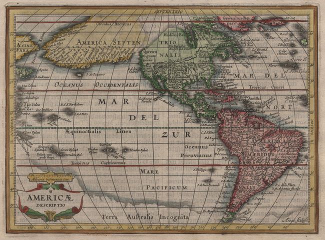
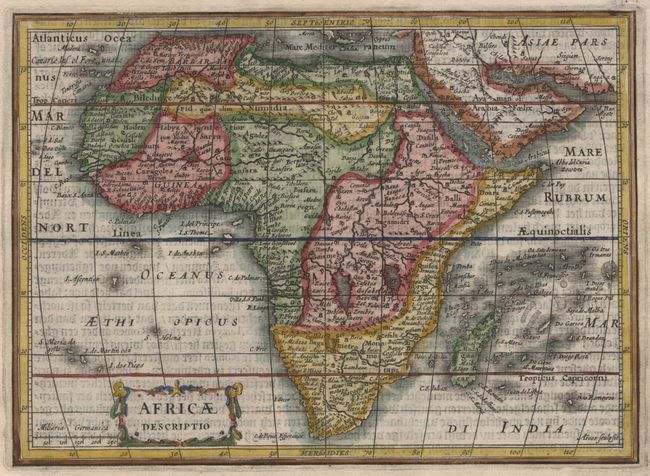
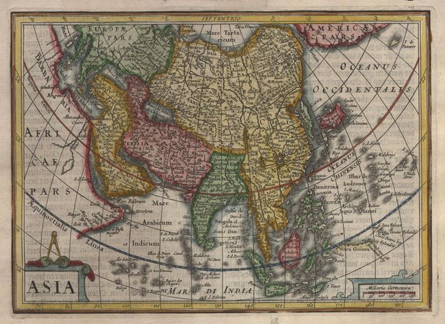
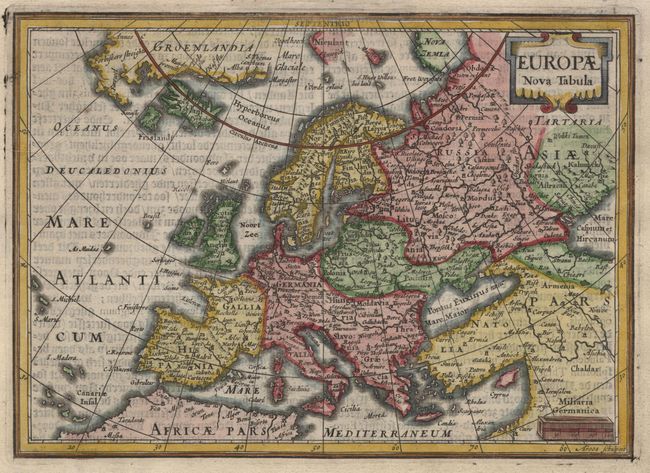
"[Set of 5] Typus Orbis Terrarum [and] Europae Nova Tabula [and] Americae Descriptio [and] Asia [and] Africae Descriptio", Hondius/Jansson

Subject: World and Continents

Period: 1628 (circa)

Publication: Atlas Minor

Color: Hand Color

Size:
7.9 x 5.6 inches
20.1 x 14.2 cm
Download High Resolution Image
(or just click on image to launch the Zoom viewer)
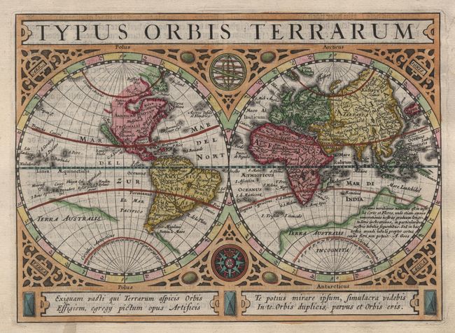
Fine set of matched maps engraved by Abraham Goos for the new editions of the "Atlas Minor" published by Jan Jansson between 1628 and 1651. The double hemisphere now features the Island of California and more detail in both Africa and Asia. The great southern continent Terra Australis Incognita is retained but modified to reflect the recent discoveries in Tierra del Fuego and Southeast Asia. The map is richly decorated in a strapwork surround with the title at top and an armillary sphere and compass rose in the central cusps of the hemispheres. The map of America is an interesting contrast reflecting the controversy surrounding the shape of California. This map features a curious depiction of the west coast of North America derived from the Van den Keere and Plancius globe of 1614. The origins of this delineation could be Juan de Fuca's much disputed voyage in the region with a broad inlet opening up into a Northwest Passage and bisecting the peninsula of California from a large landmass stretching across the Pacific nearly to Asia. Other interesting features include the St. Lawrence River extending far into the West and no Great Lakes, and a curious shaded area in Virginia that may be the remnants of a Verrazano type sea. The African map is a reduced version of the Jodocus Hondius' map of the continent, but with considerably more detail than the previous map used in the Atlas Minor. The map of Asia follows closely the Hondius Asia Nova Descriptio with a peninsular Korea, kite-shaped Japan, an exaggerated Gulf of Cambay distorting the Indian subcontinent, and the mythical Lake Chyamai situated in China. The map of Europe is based on Jansson's detailed map and extends to include Nova Zembla and much of the Arctic discoveries of Willem Barents and Linschoten. The maps all include decorative cartouches. German text on verso.

References: [World] Shirley #325; [America] Burden #221; [Asia] Yeo #21.

Condition: A

Slight show through of verso text and a couple of light damp stains in blank margins.

Estimate: $3,500 - $4,000

Sold for: $2,500

Closed on 3/5/2003

Archived