Catalog Archive
Auction 102, Lot 298
"Descripcion del Destricto Del Audiencia de Lima", Herrera y Tordesillas, Antonio de
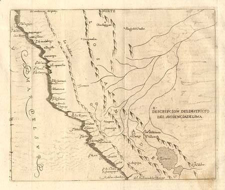
Subject: Peru
Period: 1730 (circa)
Publication: Historia general de los hechos de los Castellanos
Color: Black & White
Size:
9.5 x 8 inches
24.1 x 20.3 cm
Download High Resolution Image
(or just click on image to launch the Zoom viewer)
(or just click on image to launch the Zoom viewer)