Catalog Archive
Auction 102, Lot 216

"Ohio and Indiana", Tanner, Henry Schenck

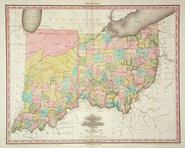
Subject: Ohio and Indiana

Period: 1819 (dated)

Publication: New American Atlas

Color: Hand Color

Size:
26.5 x 21.4 inches
67.3 x 54.4 cm
Download High Resolution Image
(or just click on image to launch the Zoom viewer)

A magnificent double-page elephant folio map from an early issue of Tanner's monumental atlas. Based on the named 42 organized counties, the map was issued circa 1822. The northern half is mostly blank with only Pattawatima, Missisinewa and Kickapoos Indians, Prophet's Town, and Fort Wayne located. Tanner credits A. Bourne and S. Williams of Chillicothe, De Ferrere, Ellicott, Volney, Darby, Brown, Drake, Cramer and Kilbourn in the making of the map. A rarity in remarkable condition

References: Phillips (A) #4462 No. 5.

Condition: A

Printed on thick paper. Fine impression with some very light offsetting. Exquisite full original coloring.

Estimate: $1,000 - $1,200

Sold for: $750

Closed on 3/5/2003

Archived