Catalog Archive
Auction 102, Lot 157

"Map of Oregon and Upper California from the Surveys of John Charles Fremont and other Authorities", Fremont/Preuss
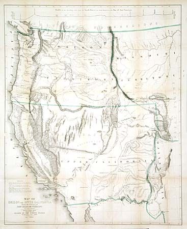
Subject: United States - Western

Period: 1848 (dated)

Publication:

Color: Hand Color

Size:
26.5 x 33 inches
67.3 x 83.8 cm
Download High Resolution Image
(or just click on image to launch the Zoom viewer)

The large version of this important Western map covering all of the western territories from the 105th meridian. A synthesis of information from a number of western explorers, it is considered one of the most important 19th century American maps. It shows for the first time the Mormon settlements in Utah, names for the first time the Golden Gate, and is a significant map of the new California Gold Regions of California. A nice example of this increasingly difficult to obtain map.

References: Wheat (TMW) #559; Goss (NA) #177; Schwartz & Ehrenberg pl. #171.

Condition: A

Good impression with some light toning along folds. Remarkably with no fold intersection splits.

Estimate: $1,000 - $1,500

Sold for: $1,600

Closed on 3/5/2003

Archived