Catalog Archive
Auction 102, Lot 149

"[General Karte von Nordamerica samt den West Indischen Inseln Verasst von Herrn Pownall (Northwest Sheet)]", Schraembl, Franz Anton

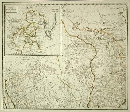
Subject: United States - Central Midwest

Period: 1790 (published)

Publication:

Color: Black & White

Size:
23.4 x 20 inches
59.4 x 50.8 cm
Download High Resolution Image
(or just click on image to launch the Zoom viewer)

This is a scarce Austrian map based on the important Bowen & Gibson map of North America and the West Indies (Sayer & Bennett 1783 edition) updated to include the surveys of Governor Thomas Pownall. This sheet covers the region from the Great Lakes nearly to the Gulf of Mexico and from the Appalachian Mountains to Sonora Mexico. Part of a four sheet set, based on the surveys of Major Samuel Holland and Pownall. Great detail throughout with numerous Indian nations and notations of various explorations. Large inset covering Baffin and Hudson's Bay, which includes a depiction of the fictitious NORTHWEST PASSAGE of Admiral de Fonte (1640).

References:

Condition: A+

Crisp impression on thick paper with 1" margins.

Estimate: $700 - $900

Sold for: $500

Closed on 3/5/2003

Archived