Catalog Archive
Auction 101, Lot 92

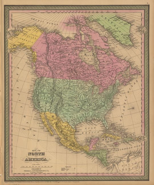
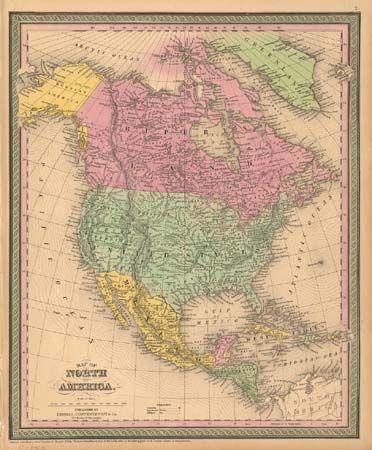
"[Pair of maps] Map of North America", Thomas, Cowperthwait & Co.

Subject: North America

Period: 1850 (circa)

Publication:

Color: Hand Color

Size:
12.7 x 15.5 inches
32.3 x 39.4 cm
Download High Resolution Image
(or just click on image to launch the Zoom viewer)

Fine steel engraved map with early western territorial borders, pre-Gadsden boundary with Mexico and Alaska as Russian America. A large Missouri Territory extends from Indian Territory to Canada. Only Oregon and Utah Territories and California are organized in the west. Good detail throughout including Mexico, Central America and British America. With a second example, circa 1853, that adds Washington Territory. The pair.

References:

Condition: A

Former with good impression and color. Latter with soiling and some color fading, marginal chips and tears (C).

Estimate: $120 - $150

Sold for: $150

Closed on 12/4/2002

Archived