Catalog Archive
Auction 101, Lot 86

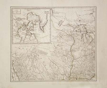
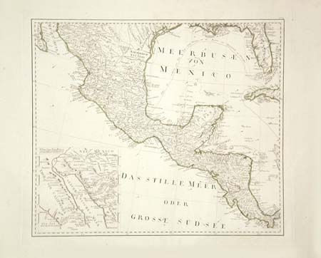
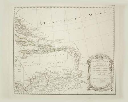
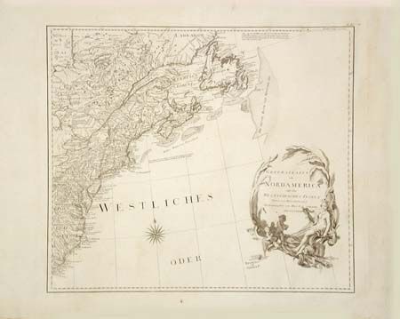
"[4 Sheets] General Karte von Nordamerica samt den West Indischen Inseln Verasst von Herrn Pownall", Schraembl, Franz Anton

Subject: North America

Period: 1788 (dated)

Publication: Allgemeiner grosser atlas…

Color: Hand Color

Size:
40 x 46 inches
101.6 x 116.8 cm
Download High Resolution Image
(or just click on image to launch the Zoom viewer)

This is a scarce Austrian map based on the important Bowen & Gibson map of North America and the West Indies (Sayer & Bennett 1783 edition) updated to include the surveys of Governor Thomas Pownall. The map is beautifully engraved with excellent detail of roads, trails, settlements, Indian nations and notations of various explorations. Two large insets of Baffin & Hudson's Bays and the Gulf of California fill the western sheets and are balanced by decorative title and distance scale cartouches on the eastern sheets. The United States is shown with 1783 treaty border and the French and Spanish possessions are noted. The Canadian inset includes a depiction of the Northwest Passage according to Admiral de Font. The Californian inset provides a view of Father Kino's discoveries in 1698-1701. Engraved on four separate, large folio, sheets (each map approximately 23 x 20") with very wide margins. If joined the map would measure approximately 40 x 46".

References: McCorkle 788.6; Phillips (A) 694-36a-d; cf. Stevens & Tree 49.

Condition: A

Very insignificant damp stain to one sheet, overall fine with a crisp impression and bright clean paper, issue without centerfold. Color is slightly faded.

Estimate: $2,500 - $3,000

Unsold

Closed on 12/4/2002

Archived