Catalog Archive
Auction 101, Lot 399
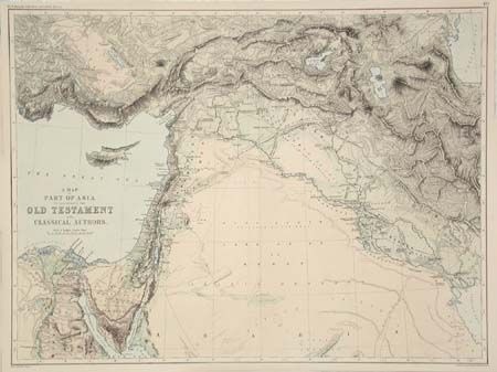
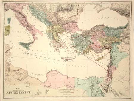
"A Map to Illustrate the New Testament [together with] A Map of the Part of Asia to Illustrate the Old Testament and Classical Authors", Murray, J.
1 of 2
Subject: Holy Land
Period: 1875 (published)
Publication: Dr. Smith's Ancient Atlas
Color: Printed Color
Size:
22.5 x 17 inches
57.2 x 43.2 cm
Download High Resolution Image
(or just click on image to launch the Zoom viewer)
(or just click on image to launch the Zoom viewer)