Catalog Archive
Auction 101, Lot 142
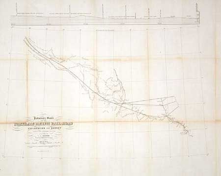
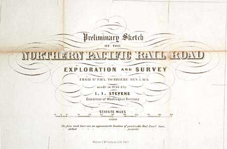
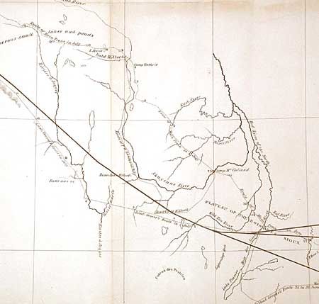
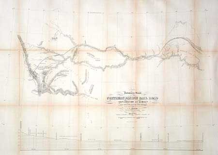
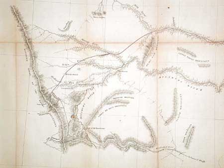
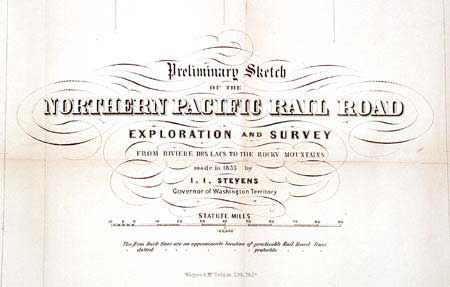
"Preliminary Sketch of the Northern Pacific Rail Road Exploration and Survey from St. Paul to Riviere des Lacs [together with] …from Riviere des Lacs to the Rocky Mountains made in 1853 by I.I. Stevens Governor of Washington Territory", Stevens, Isaac Ingalls
1 of 6
Subject: Western United States
Period: 1855 (published)
Publication: Railroad Surveys
Color:
Size:
See Description
Download High Resolution Image
(or just click on image to launch the Zoom viewer)
(or just click on image to launch the Zoom viewer)