Catalog Archive
Auction 101, Lot 131

"The United States of North America, with the British Territories", Wyld, James

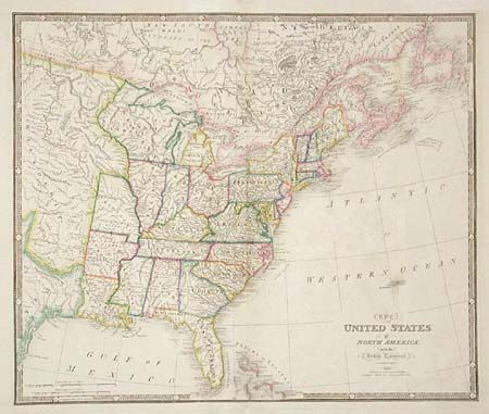
Subject: United States - Eastern

Period: 1841 (dated)

Publication: A New General Atlas of Modern Geography

Color: Hand Color

Size:
25 x 21 inches
63.5 x 53.3 cm
Download High Resolution Image
(or just click on image to launch the Zoom viewer)

Large map of the United States extending just past the 100th meridian with a large Missouri Territory. The former Western Territory (still labeled) is now organized into Ohio, Indiana, Illinois and Northwest Territory. Cape Girardeau District, Lawrence District, and Arkansas Dist. are located west of the Mississippi River. Locates Indian tribes, towns, settlements, land grants, Army lands, etc. Bold keyboard-style border. Published by W. Faden.

References: Phillips (A) # 6096.

Condition: A

Repairs on folds in margins and faint offsetting, still very good.

Estimate: $475 - $550

Sold for: $350

Closed on 12/4/2002

Archived