Catalog Archive
Auction 101, Lot 127

"United States of America", Robinson, G. G.

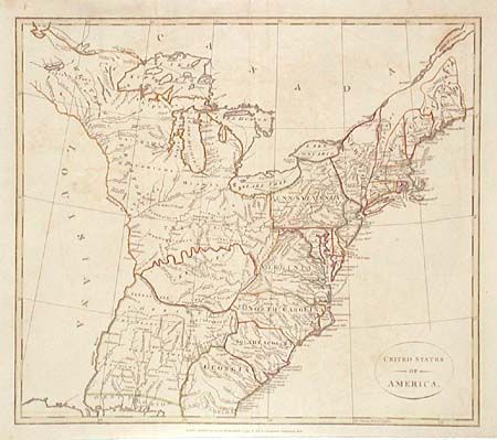
Subject: United States - Eastern

Period: 1799 (dated)

Publication: Atlas to Cruttwell's Gazetteer

Color: Hand Color

Size:
15.5 x 13.7 inches
39.4 x 34.8 cm
Download High Resolution Image
(or just click on image to launch the Zoom viewer)

Fine early map of the United States extending from West and East Florida up to the Lake of the Woods and the lands of the Eastern Sioux in the north. West of the Mississippi the region is labeled Louisiana and is completely devoid of detail. Tennessee is named but not defined by borders, while Kentucky is oddly shaped. A huge Western Territory occupies everything east of Pennsylvania and north of Kentucky. A large area south of Kentucky and west of Georgia to the Mississippi is unnamed but filled with Indian names.

References: McCorkle #799-10; Phillips (A) #692-7.

Condition: B

Slight offsetting.

Estimate: $400 - $450

Sold for: $300

Closed on 12/4/2002

Archived