Catalog Archive
Auction 101, Lot 126

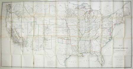
"Map of the United States and Territories", General Land Office

Subject: United States

Period: 1866 (dated)

Publication: Report of the Commissioner of the General Land Office for the Year 1866

Color: Hand Color

Size:
55 x 28 inches
139.7 x 71.1 cm
Download High Resolution Image
(or just click on image to launch the Zoom viewer)

This map is one of the more remarkable maps produced by General Land Office. It shows the extent of the Public Surveys in 1866 and many items of great interest. Land Grant and other railroads are clearly marked. Most significant are the Gold, Silver, Copper, and other mineral deposits that are color coded to mark their location. The sites of Army forts and posts provide an excellent view of the undeveloped territories and the western frontier. The map folds into the original report (43 pp.) that provides information on the disposition of surveys in several western territories with particular attention to the immense mineral wealth in those lands. Hardbound in embossed green cloth with gild titling.

References:

Condition: B

Tape repairs at fold intersections and where attached to binding, else map is in remarkably good condition. Report contents very good and binding with minor wear and fraying at head and tail.

Estimate: $350 - $450

Sold for: $375

Closed on 12/4/2002

Archived