Catalog Archive
Auction 101, Lot 121

"[United States]", Gilman, E.

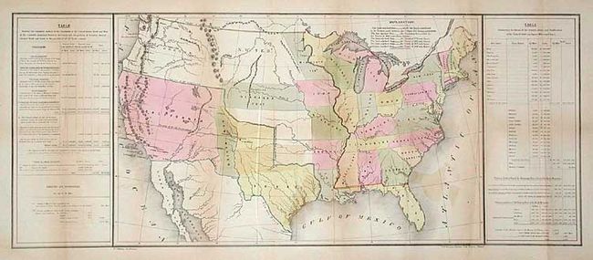
Subject: United States

Period: 1849 (circa)

Publication: HR Doc. #1, 30th Cong., 2nd Session

Color: Hand Color

Size:
33.2 x 13.8 inches
84.3 x 35.1 cm
Download High Resolution Image
(or just click on image to launch the Zoom viewer)

The Republic of Texas is shown with its northern boundary extending to 42 degrees N. latitude. A large California Territory extends nearly to Texas with a small New Mexico sandwiched in between. Interesting versions of treaty boundaries are drawn and a table of explanations provides treaty dates. Sometimes referred to as the 'Tables Map' because a table on each side of the map offers selected statistical information including details on the "Three Divisions" of Texas. Probably prepared for the General Land Office to show Guadeloupe-Hidalgo treaty lines (Wheat). Lithographed by Duval in Philadelphia.

References: Koepp CIS 537; Wheat (TMW) 561; Streeter Sale 3876.

Condition: B

Issued folding, now backed with archival tissue. A little offsetting, else very good.

Estimate: $400 - $500

Sold for: $325

Closed on 12/4/2002

Archived