Catalog Archive
Auction 100, Lot 622

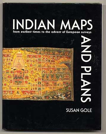
"Indian Maps and Plans from earliest times to the advent of European surveys", Gole, Susan

Subject: Cartographic Reference

Period: 1989 (published)

Publication: Manohar Publications

Color:

Size:
9 x 11.2 inches
22.9 x 28.4 cm
Download High Resolution Image
(or just click on image to launch the Zoom viewer)

This is the first book to deal exclusively with Indian maps and plans made with no European influence. The maps covered range in date from a possible cosmography in a Mesolithic cave to the present day, all in a distinctly Indian style. Profusely illustrated with 122 maps, many in color. Quarto, 207 pp. Hardcover with dustjacket.

References:

Condition: A

Slight shelf wear at corners. Stamp on front endpaper of book seller in New Delhi.

Estimate: $50 - $70

Sold for: $0

Closed on 9/12/2002

Archived