Catalog Archive
Auction 100, Lot 552

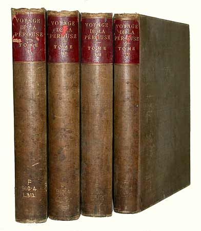
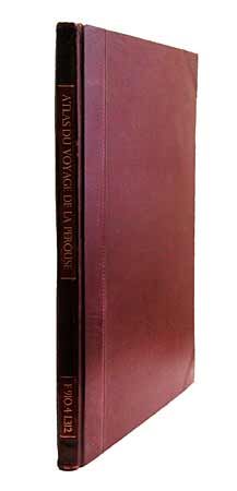
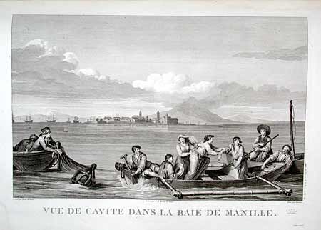
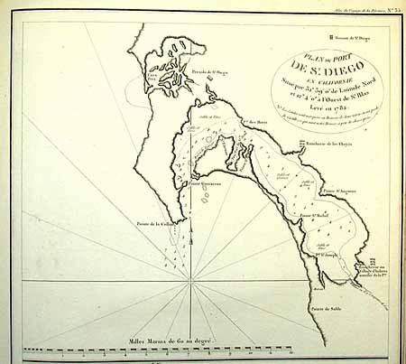
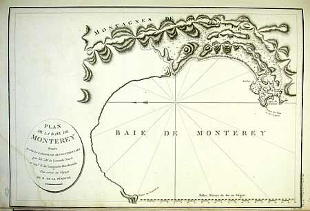
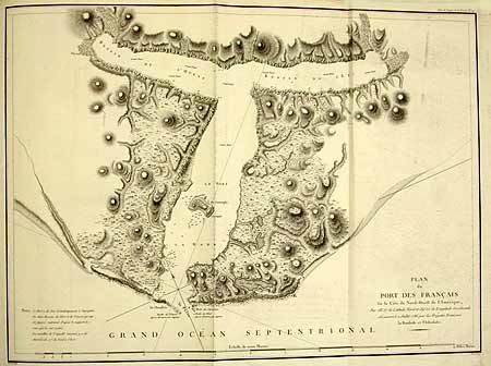
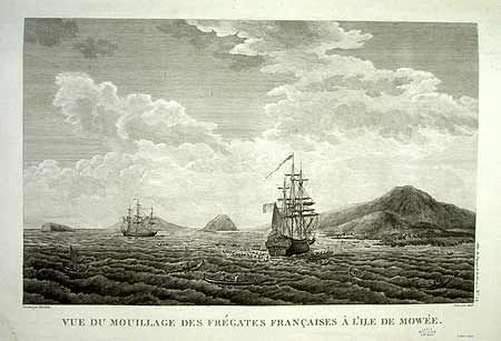
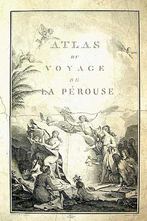
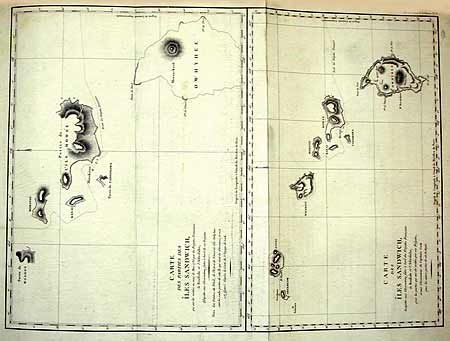
"Voyage de la Perouse Autour du Monde, publie Conformement au Decret du 22 Avril 1791, et Redige par M.L.A. Milet-Mureau…", La Perouse, Comte Jean F. Galoup, de

Subject: Atlases & Exploration

Period: 1797 (published)

Publication: Paris, Imprimérie de la Républic

Color: Black & White

Size:
See Description
Download High Resolution Image
(or just click on image to launch the Zoom viewer)

First edition of one of the greatest French voyages, published by order of the French Government. Jean-Francois de Galaup, Comte de La Perouse commanded a French scientific expedition to the Pacific in 1785-88. Recognized as one the foremost naval commanders and navigators in France, he was selected by King Louis XVI to complete Captain James Cook's exploration of the western Pacific. The British Admiralty provided scientific equipment to measure variations in magnetic compass readings and with the latest instruments for determining longitude. La Perouse explored the coasts of the Gulf of Alaska and northwestern North America in search of the fabled Northwest Passage. After leaving America his expedition continued on to Asia where he explored from Macao to Kamchatka and the Solomon Islands in the South Pacific. La Perouse was meticulous in sending copies of his extensive logs, maps and surveying information via other ships as well as overland. La Perouse's last contact was in the spring of 1788 with a British ship in Botany Bay, Australia. The expedition was never heard from again. The French Government decided to publish the story of the expedition when it became clear they had been lost. Four text volumes hard bound in cloth, with red leather labels on spine. Volume I 346 pp., Vol. II 398 pp., Vol. III 422 pp., Vol. IV 309 pp. Atlas portfolio in red cloth and calf. Atlas with title page, 31 (of 32) maps, and 37 plates. The atlas pagination is complete and contiguous through page 68, however, it appears the last map (Plan des Iles Kuriles…) is missing or was never included in this issue. Maps are generally good to very good, with occasional marginal tide marks, some soft creases due to miss-folding of the large charts, occasional marginal defects. Three of the maps and the title page have professional repairs with archival tissue over the recto. The binding of the text volumes are quite soiled with shelf wear to spine labels. Text volumes with bookplates and occasional small stamp for Leeds Public Library - always on title and last page. A nice example of the rare 1st Edition.

References: Phillips (A) #688; Sabin 38960; Streeter 3493.

Condition: A

Contents generally very good.. Professional paper repairs to Vol. III, IV and Atlas Title page plus a few text pages with no loss.

Estimate: $12,000 - $16,000

Sold for: $9,000

Closed on 9/12/2002

Archived