Catalog Archive
Auction 100, Lot 218

"Texas", Lange, Henry
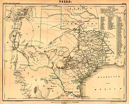
Subject: Texas

Period: 1854 (circa)

Publication: Atlas v Nord-Amerika

Color: Hand Color

Size:
10.5 x 8.3 inches
26.7 x 21.1 cm
Download High Resolution Image
(or just click on image to launch the Zoom viewer)

A historically interesting county map of Texas showing much detail. A table provides a key to the symbols used to indicate towns, post offices, stage roads and list names of 65 counties. Of particular note is the identification in outline color of the Gebiet des Texas Verins with the route from the port of Indianola to the German Settlements. This is a feature not shown on most American made maps. Over half of the state is unorganized and mostly blank but it does list Indian tribes and other place names, e.g. White Sand Hills, Flatrock Ponds, Castle Mountains, Horsehead Crossing, etc.

References: Phillips (M) p. 845.

Condition: A

Finely engraved with delicate outline coloring.

Estimate: $250 - $350

Sold for: $475

Closed on 9/12/2002

Archived