Catalog Archive
Auction 100, Lot 186
"Map of Louisiana Representing the Several Land Districts", U.S. State Surveys
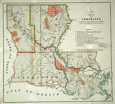
Subject: Louisiana
Period: 1854 (dated)
Publication:
Color: Hand Color
Size:
16.5 x 15 inches
41.9 x 38.1 cm
Download High Resolution Image
(or just click on image to launch the Zoom viewer)
(or just click on image to launch the Zoom viewer)