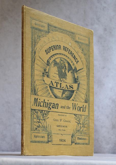
"Superior Reference Atlas - Michigan and the World", Cram, George F. & Company
Subject: Atlases
Period: 1904 (published)
Publication:
Color: Printed Color
Size:
12 x 14.9 inches
30.5 x 37.8 cm
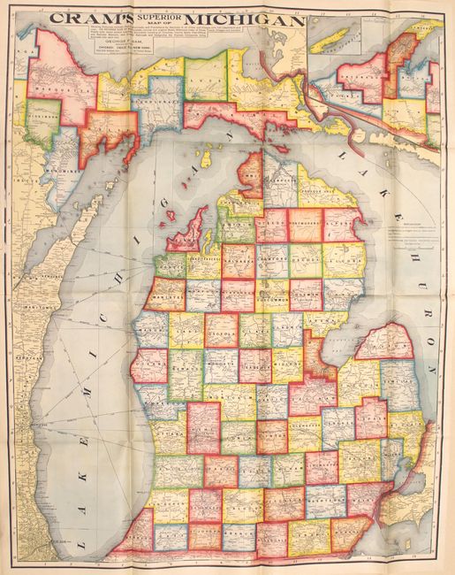
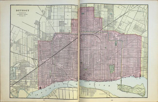
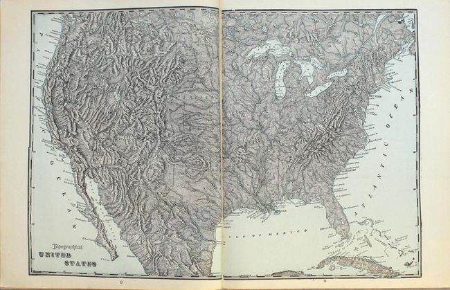
This is the first edition of Cram's Superior Reference Atlas of Michigan. It is one of a series of atlases published early in the 20th century by the Cram company that highlights an individual state, and contains 20 double-page and 7 single-page maps of U.S. states, territories and the rest of the world. At the back of the volume are 3 maps and 13 pages of text directly related to Michigan. Of particular interest is the huge (38 x 48"), boldly colored folding map of the state that was issued at the rear of the volume (now detached), showing county boundaries, railroads, roads, city populations, and distances between railroad stations. Includes a double-page map of Detroit, and single-page maps of Michigan shown agricultural and manufacturing statistics by county. 64 pages. Hardbound in original cream cloth with black pictorial front cover title and decoration.
References:
Condition: A
Overall excellent condition. Maps and text are clean and bright, and the binding is tight. The large folding map has vivid color and only a few small splits at fold intersections. The hinges are starting and the covers have light wear.