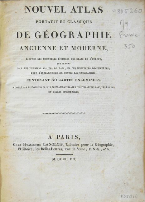
"Nouvel Atlas Portatif et Classique de Geographie Ancienne et Moderne...", Langlois, Hyacinthe
Subject: Atlases
Period: 1807 (published)
Publication:
Color: Hand Color
Size:
7.6 x 9.5 inches
19.3 x 24.1 cm
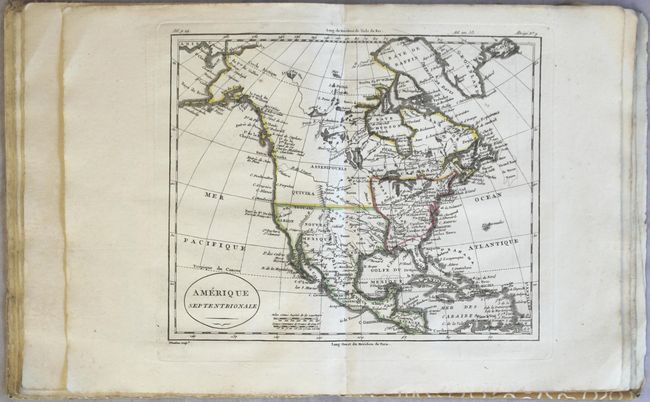
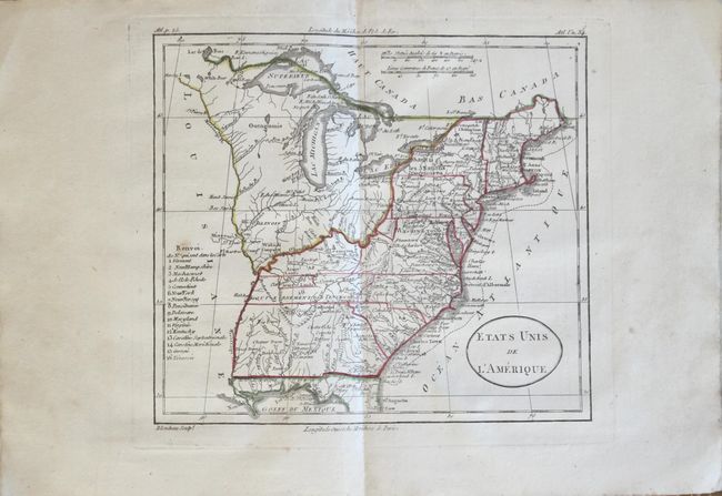
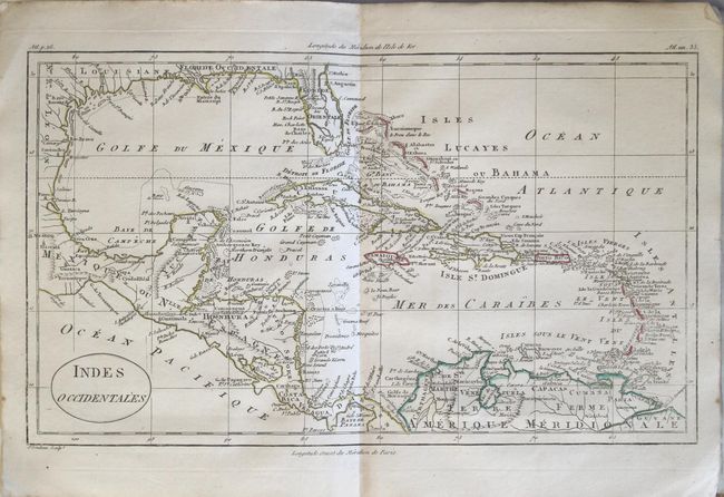
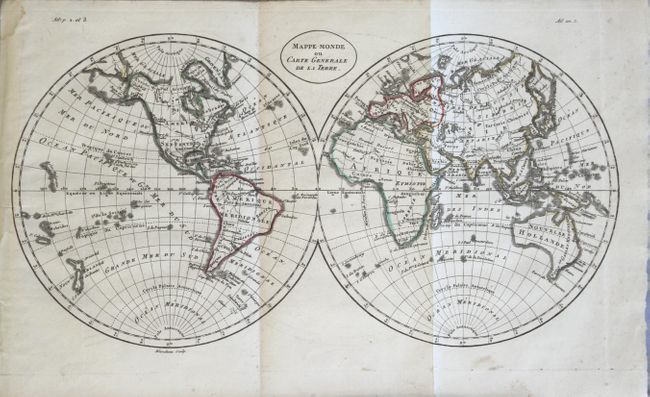
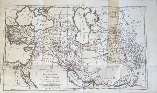
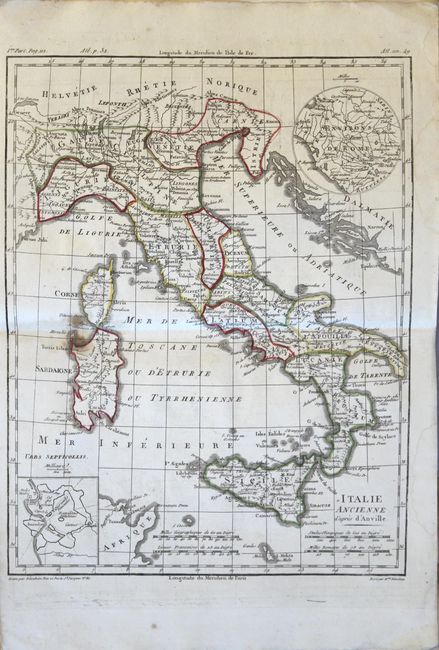
This attractive French atlas contains 29 of the 30 issued plates (missing only the folding map of France). Included are 23 maps of the modern world, 5 maps of the ancient world, and an armillary sphere. Of the 23 modern maps, 2 are world maps and 4 are related to the Americas including North America, South America, the United States, and the West Indies. The map of North America depicts a River of the West, and the map of the United States is shown with its boundary extending to the Mississippi River with numerous land grants identified on the western frontier. The 5 ancient maps include Alexander the Great's conquests, the Roman Empire (2 maps), Ancient Italy, and the Ancient World. The map of the modern world in hemispheres, Italy, and Alexander's route are all folding. Octavo. Bound in modern, stiff paper boards.
References:
Condition: B+
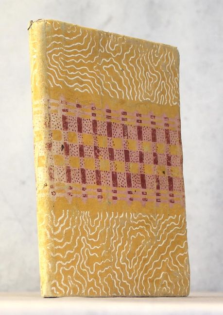
The maps, with original outline color, are in very good to near fine condition with occasional light scattered foxing and minor soiling. The maps of Ancient Italy and the Ancient World have light staining along the lower centerfold. The binding is somewhat loose and the stiff paper covers are moderately worn and bumped.