Catalog Archive
Auction 94, Lot 49
"Cirumjacent the North Pole", Hurst (family)
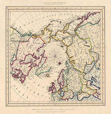
Subject: North Pole
Period: 1853 (dated)
Publication:
Color: Hand Color
Size:
11 x 11 inches
27.9 x 27.9 cm
Download High Resolution Image
(or just click on image to launch the Zoom viewer)
(or just click on image to launch the Zoom viewer)