Catalog Archive
Auction 88, Lot 40
"Americae Descrip.", Mercator/Hondius
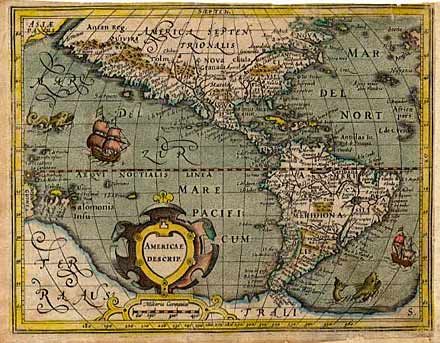
Subject: Western Hemisphere
Period: 1609 (published)
Publication: Atlas Minor
Color: Hand Color
Size:
7.7 x 5.7 inches
19.6 x 14.5 cm
Download High Resolution Image
(or just click on image to launch the Zoom viewer)
(or just click on image to launch the Zoom viewer)