Catalog Archive
Auction 197, Lot 17

"Mappe-Monde sur la Projection Reduite de Mercator", Chamouin, Jean Baptiste Marie
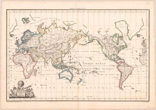
Subject: World

Period: 1809 (circa)

Publication:

Color: Hand Color

Size:
17.7 x 11.4 inches
45 x 29 cm
Download High Resolution Image
(or just click on image to launch the Zoom viewer)

This map of the world on Mercator's projection is centered on the Pacific Ocean with the Americas on the right, rather than the more common orientation centered on the Atlantic Ocean. The map focuses on physical geography and highlights rivers, lakes, and topography. Only a few place names are shown including Washington, La Paz, London, Paris and Berlin. A delicate title cartouche includes a globe and other scientific instruments. Published by Malte-Brun.

References:

Condition: A

A crisp impression with very faint offsetting. There are archivally repaired centerfold separations confined to the top and bottom blank margins and a faint dampstain in the right margin.

Estimate: $140 - $170

Sold for: $80

Closed on 4/24/2024

Archived