Catalog Archive
Auction 119, Lot 833
"Carte Particuliere des Costes de l'Afrique Qui comprend le Royaume de Cacheo le Province de Gelofo &c. Levee par Ordre Expres des Roys de Portugal sous qui on en a Fait la Decouverte", Mortier, Pierre
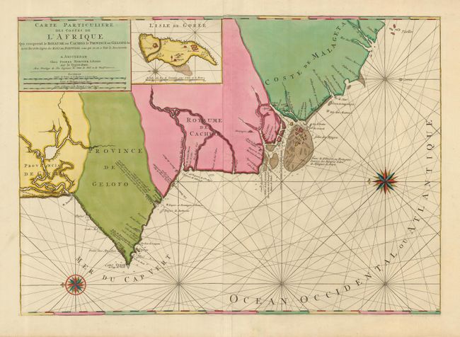
Subject: Africa - Western
Period: 1720 (circa)
Publication: Le Neptune Francois
Color: Hand Color
Size:
30 x 21.3 inches
76.2 x 54.1 cm
Download High Resolution Image
(or just click on image to launch the Zoom viewer)
(or just click on image to launch the Zoom viewer)