Catalog Archive
Auction 119, Lot 199
"Die Staaten von N. & S. Carolina Georgia & Florida", Meyer, Joseph
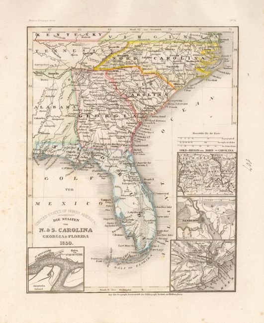
Subject: United States - Southeast
Period: 1850 (circa)
Publication: Geographisches Institut
Color: Hand Color
Size:
8 x 10 inches
20.3 x 25.4 cm
Download High Resolution Image
(or just click on image to launch the Zoom viewer)
(or just click on image to launch the Zoom viewer)