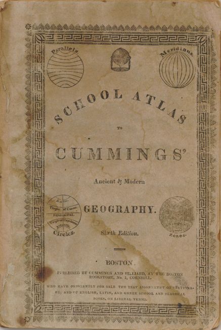
"School Atlas to Cummings' Ancient & Modern Geography", Cummings & Hilliard
Subject: Atlases
Period: 1818 (circa)
Publication:
Color: Hand Color
Size:
6.3 x 9.3 inches
16 x 23.6 cm
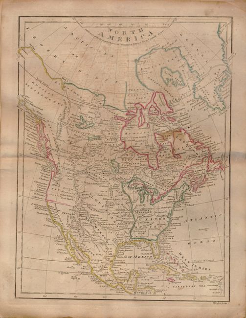
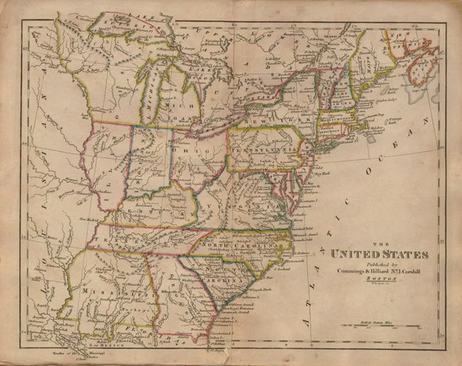
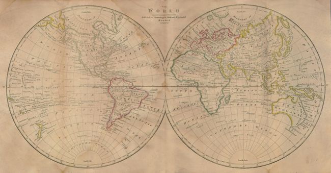
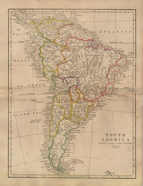
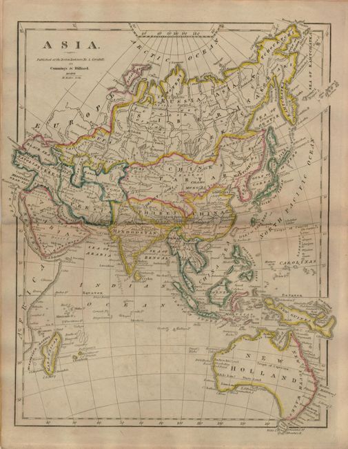
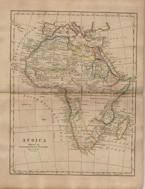
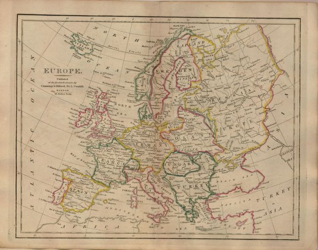
This Sixth Edition is complete with eight double-page maps of the world and continents. This early geography contains a nice map of North America that shows the United States confined east to the Mississippi River, Louisiana taking in the central plains region and New Mexico incorporating Tecas. Several western rivers hint at possible passages from the Missouri River to the Pacific. Numerous forts and Indian tribes are also mentioned. It also contains a nice map of the United States that features the large Mississippi Territory and the new state of Illinois. Original stiff paper covers.
References:
Condition: B
Maps good to very good with original outline color. There is a short marginal fold separation on the U.S. map, a minor stain on the North America map, and light damp stains on the world map. Covers damp stained and worn, but binding still sound.