Catalog Archive
Auction 150, Lot 773

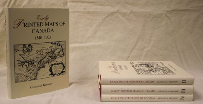
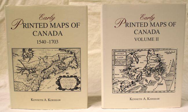
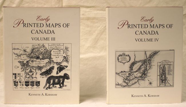
"[4 Volumes] Early Printed Maps of Canada 1540-1703", Kershaw, Kenneth A.

Subject: References

Period: 1993-2002 (published)

Publication:

Color: Black & White

Size:
8.9 x 11.4 inches
22.6 x 29 cm
Download High Resolution Image
(or just click on image to launch the Zoom viewer)

A great reference for identifying, attributing and dating maps of Canada. Complete and matching four volume set. Includes more than 1000 entries profusely illustrated and well documented. The first volume covers maps of the 16th and 17th century. The next volumes cover the period 1703 to 1799, illustrating various regions. Hardbound in red buckram with illustrated dust jackets. The definitive reference for early maps of Canada and the Northeast that is out of print and increasingly difficult to locate.

References:

Condition: A

Contents fine with minor soiling on the covers.

Estimate: $400 - $500

Sold for: $300

Closed on 9/17/2014

Archived