Catalog Archive
Auction 150, Lot 690

"Royaume de Congo, &c.", Sanson, Nicolas
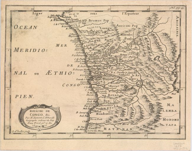
Subject: Congo

Period: 1656 (dated)

Publication: L'Afrique en plusieurs cartes...

Color: Black & White

Size:
11 x 8.1 inches
27.9 x 20.6 cm
Download High Resolution Image
(or just click on image to launch the Zoom viewer)

This detailed map spans Gabon, the Congo, and Angola from Cape Lopez and Sao Tomé to approximately the border with present-day Namibia. The map is fully engraved with mountains, rivers, forests, and trails and decorated with a strapwork title cartouche. There are many place names along the coastline. Engraved by Jean Lhuillier.

References: Pastoureau, SANSON I C #13.

Condition: B+

A dark impression remargined on all sides with heavy old paper. There is light soiling, and the old paper used for remargining is separating at left.

Estimate: $70 - $90

Sold for: $50

Closed on 9/17/2014

Archived